Freetown-Fall River State Forest State Park
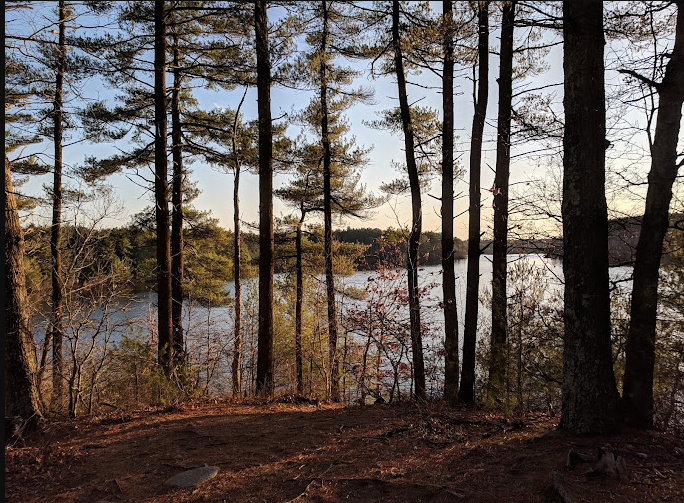
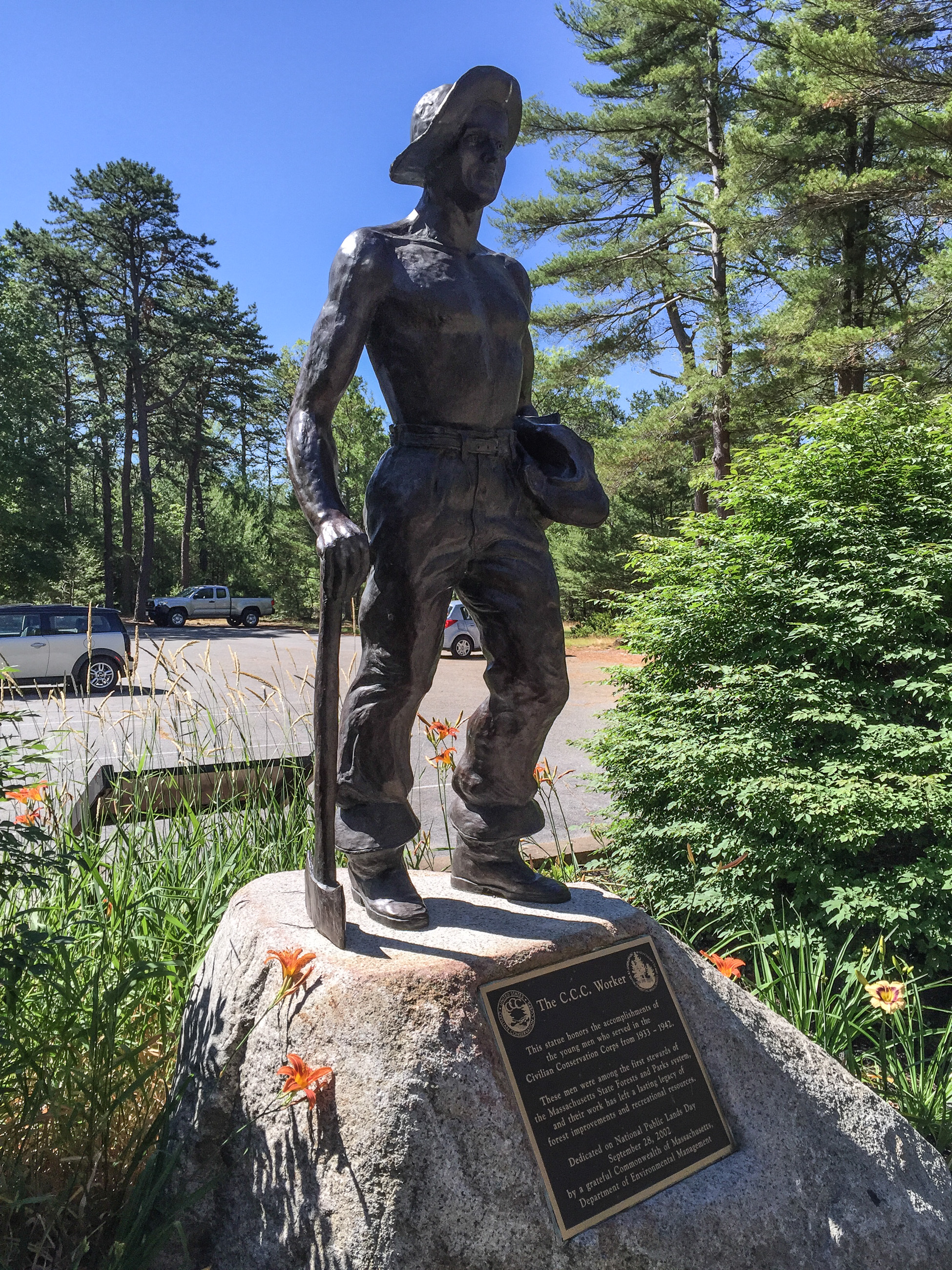
The Freetown-Fall River State Forest is a publicly owned forest covering more than 5,000 acres (2,000 ha) in the city of Fall River and the towns of Freetown and Lakeville in the state of Massachusetts. The forest lies mostly in the center of the town of Freetown dividing Assonet, East Freetown, and Fall River's northernmost boundary. The forest land includes Profile Rock, a granite outcropping which local Native Americans believe to be the image of Chief Massasoit, and a 227-acre (92 ha) Pocasset reservation. The forest is owned by the Commonwealth of Massachusetts and operated by the Department of Conservation and Recreation with headquarters in Assonet.


20 States, 20K Miles, 11 National Parks – and Counting!
Join full-time nomads Cristy Lee and Colan McGeehan, featured on Magnolia Network, WSJ, and NYT.
🌟 Follow Us:
✨ Roam free, and we hope to see you out there!